What information can I include in my
GeoPDF? There is quite a bit of data that can be added! For example, let's say that I am using
Map2PDF for ArcGIS and in my map layout I have a raster image as a background, a
shapefile for my streets data, an
ArcSDE layer for parcel data and finally I create custom
symbology and labels for each layer. I can export each one of these features to
GeoPDF (with hyperlinks and annotations) in a
separate layer in the final map. How is attribute data maintained? The
GeoPDF export creates the
equivalent for attribute data which is called Object Data. By creating object data in your output map, which is optional by the way, you can search for all the attribute data just as if it were in its original form in
ArcGIS. With the ability to Zoom To a selected feature, you have a pretty powerful
geo-search tool.
Map2PDF for Acrobat add-
ons included
GeoMark tools that allow users to add shapes and standard or custom stamps with comments.
MapAssembler lets users combine maps and grids to create Map Books. Map2
PDF for Acrobat lets users turn any
PDF-based map into a
georegistered map - a
GeoPDF file - simply by entering two coordinates. But, there's much more to Map2
PDF for Acrobat than that.
Map Book, Map Book, Map Book!!! What the heck is a
Map Book? A Map Book is a a set of
GeoPDFs that are indexed together to create a seamless interaction between the end user and the data. Check out the Map Book that I posted earlier this year! I called it
Fun with Hyperlinked Data. I did go a little overboard with the
Lightbox2 javascript but it does a great job in helping to tell the story! In a Map Book series, there is also the ability to search for features stored in an external database and create custom functionality through
GeoJavascript.
Map2PDF for Raster: I have seen 6
gigabytes of raster data compressed down to a 400 megabyte
GeoPDF. Wow! That is an impressive compression ratio! I mentioned earlier that we can create layered
PDFs which means that with our raster data, we can see a base layer as an
RGB image but then we can add additional bands to be turned on and off as needed. For Landsat
ETM+ data we can create a base map with bands 1, 2 and 3 then add additional bands and assign a particular color to each one. Because they are treated as
seperate layers, you have the ability to turn them on and off dynamically. Imagine what you can do with low-resolution
multispectral data like
AVHRR?
MODIS/
ASTER?
Click here to download some example data.
Things to look forward to: Mobile apps, Enhanced
GeoJavascript, Advanced GPS Track Manager, leveraging Acrobat 9.0 functionality like
Adobe AIR and much more...
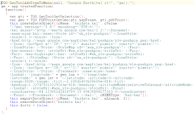 2. Open up your GeoPDF file and select the GeoTool, then right-click and select the TerraGo context menu.


